Mapping Your Cemetery
A cemetery grave map is very important. It allows visitors to accurately locate their loved ones, it helps the local cemetery to organise the arrangement of additional graves, and it allows researchers to explore burial sites as well. Cemetery records allow us to record historical information and the details of a specific grave for future generations. Scribe Cemetery provides a mapping facility to maintain a record of your graves, memorials, exclusive rights and empty plots which can be viewed as a satellite or street view and customised as required.
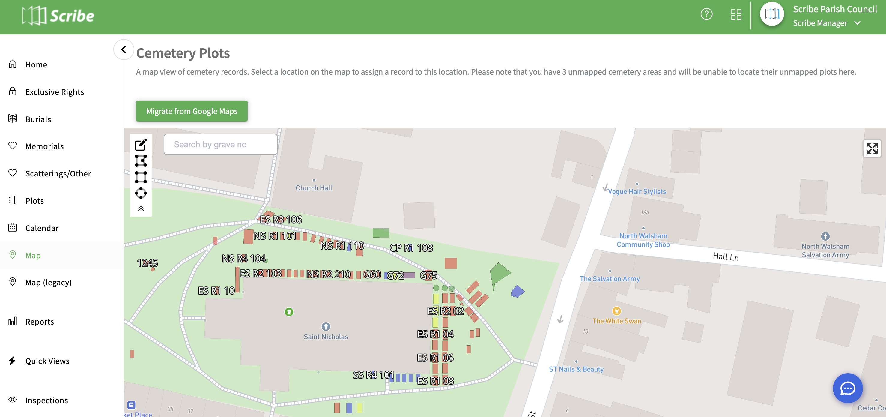
Completing your Map in Scribe Cemetery
Click on the Maps heading in the main menu - Scribe will use your council address from the Council Profile page to find your default location.
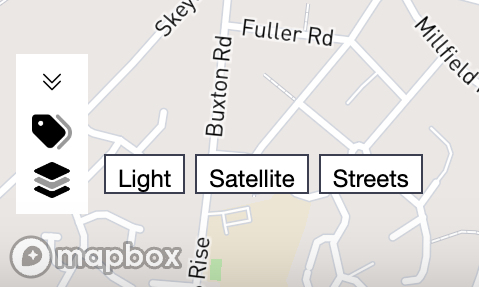
Select whether you wish to view the map as a street, satellite or light view from the options in the bottom left corner.
Click on 'Edit Map' in the top left hand corner to enable the editable functions.
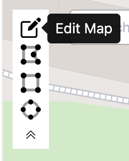
To assign a plot to the map click on 'add custom', 'add rectangle' or 'add circle' and drag to the correct position on the map - click again to drop into position.
Now that the plot is marked on the map you can add further detail - double click on the plot and a menu will appear on the right hand side allowing you to select a record to link to the plot, change the colour or add a customer label. Once complete click on 'save'.

Whilst in this view you can also rotate the plot and change the size by dragging the plot or moving the outer corners.
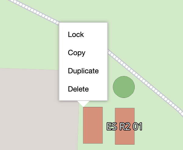
By right clicking on the plot you can lock, copy, duplicate or delete the plot.
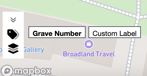
To show either Grave Labels or Customer Labels again click on the option in the bottom left hand corner.
Take a look at our video below to see our Mapping facility in action.
0 of 1 found this article helpful.